

Westerham, TN16
Driveways, Patios and Walling in WesterhamGreensand, Ragstone and Mudstone, All Inside Two Miles
Sevenoaks District Council calls Westerham a topographical paradox, on a hill and at the same time within a valley. The ground under it is just as mixed, and it decides how a driveway here gets built.
Working across TN16
The Most Varied Ground in Our Area Loose Sand, Hard Ragstone and Heavy Mudstone, Street by Street
There is no standard Westerham driveway. The town centre sits on loose sandy greensand, the climb south towards Hosey Common and Chartwell is on ragstone where the excavation itself is the hard part, and the ground north of the M25 turns to mudstone that holds water all winter. One specification cannot serve all three.
We are a family-run company from Caterham with 27 years in the trade and our own team delivering and managing the core work: the dig, the drainage, the sub-base, the edging, the walling and the laying. On a Westerham job that matters more than usual, because here the walls and the paving are the same conversation.
We work from the Green and Market Square out to Farley Common, Force Green, Moorhouse, Hosey Common, Chartwell, Crockham Hill, Brasted, Brasted Chart and Toys Hill, and up the hill to Tatsfield and Biggin Hill.
Domestic and commercial. Fully insured, free written quotes, insurance work undertaken, and 10 out of 10 on Checkatrade.
The ground
Where the Greensand Meets the Vale Three Genuinely Different Driveways Within a Couple of Miles
British Geological Survey mapping puts the town centre and Croydon Road on the Folkestone Formation sandstone, which is loose, sandy and free draining. Vicarage Hill and everything climbing south towards Hosey Common, Crockham Hill, Chartwell, Brasted Chart and Toys Hill is on the Hythe Formation, interbedded sandstone and limestone, the local Kentish ragstone. Head deposits of clay, silt, sand and gravel are mapped at Farley Common. North of the M25 the bedrock turns to Gault mudstone, and further north again it becomes chalk at Westerham Hill, Tatsfield and Biggin Hill.
Each of those asks for something different. On the Folkestone sand the material moves easily but holds nothing on its own, so compaction in layers and a properly haunched edge decide whether the job is still flat in ten years. On the Hythe ragstone the excavation is the expensive part, because rock can appear at shallow depth and a machine that was going to dig ends up breaking out. On the Gault mudstone the whole job is sub-base depth and getting the water away.
The River Darent runs through the town, so the low ground either side of it is the wettest formation you will meet locally. Between the river, the Head at Farley Common and three bedrocks inside two miles, Westerham is the one town in our area where we will not price a frontage we have not dug into.
- A trial hole on the ragstone side, so rock at shallow depth is priced rather than discovered
- Layer by layer compaction and full haunching on the loose Folkestone sand around the centre
- Deeper sub-base and a positive outfall on the Gault mudstone north of the M25
- Levels and drainage looked at first on the low ground either side of the Darent
The houses
Cottages on the Pavement, Big Houses on the Hill and Conventional Drives on the North Side of the A25
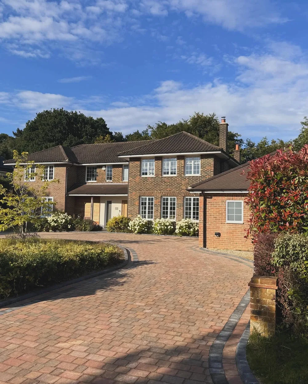
Westerham's built form is modest in scale: a mixture of two and three storey buildings around the Green and Market Square, and predominantly two storey dwellings elsewhere. The smaller streets off the main routes are usually lined with workers' cottages that sit hard against the pavement and have no off street room at all, so the work there is walls, steps, small courtyards and rear yards rather than parking.
Croydon Road carries interwar housing running north from the historic centre, and the main housing development of the 20th and 21st centuries has gone in north of the A25, with some recent building on infill sites along or just off the main road. Those are the conventional driveway plots, and they are where most of our block, resin and concrete work in the town ends up.
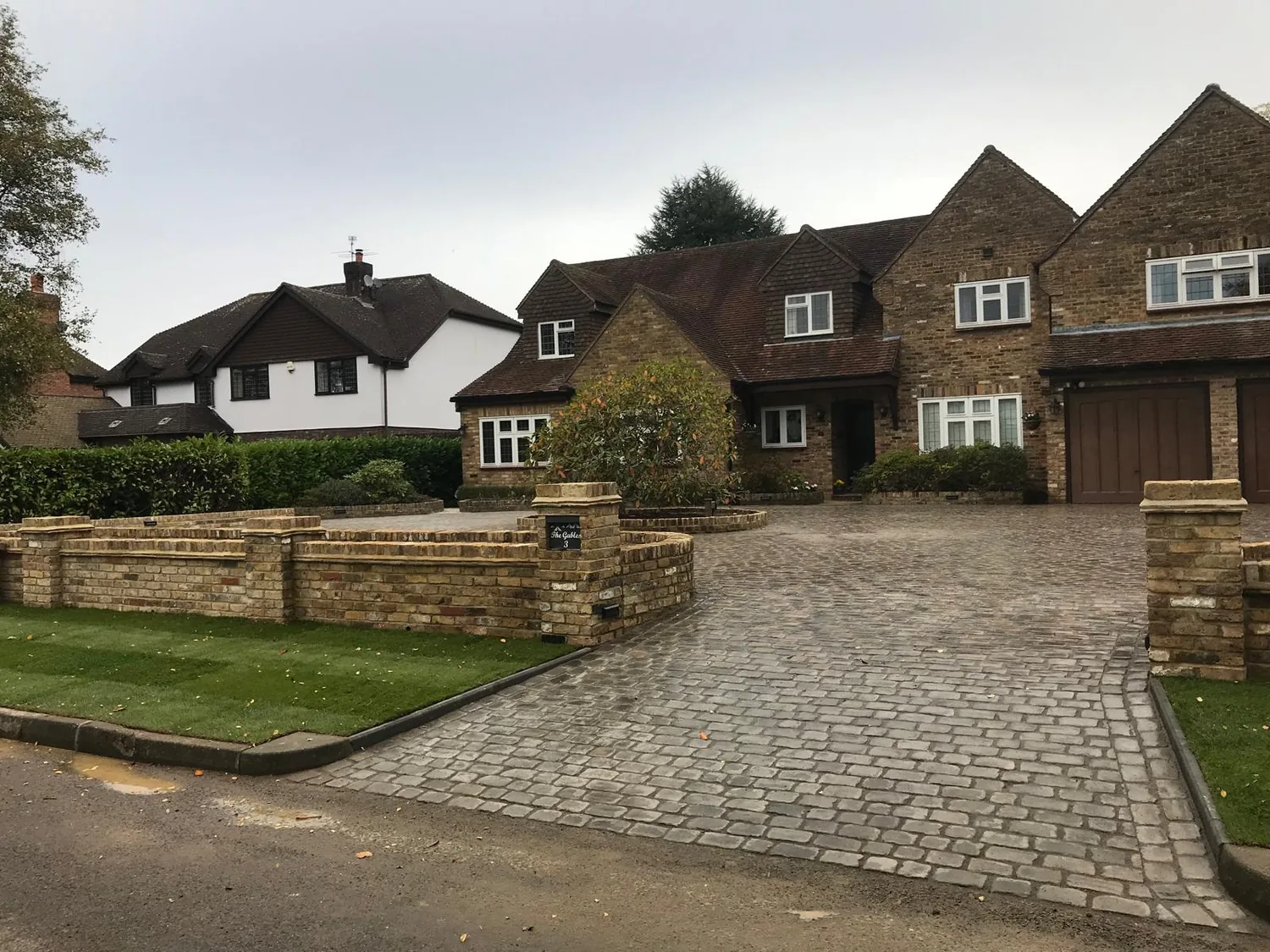
Coming into the town down Hosey Hill from the south you pass large detached houses set in expansive grounds before the grain tightens at the western end of town. That is where the long private drives, the in and out sweeps and the ragstone walling live. Census 2021 figures quoted in the Westerham and Crockham Hill housing needs survey record 69 per cent of households as owner occupiers, with the stock made up of 15 per cent flats and 85 per cent houses or bungalows.
- Cottage streets with no frontage at all, where the job is walling, steps and courtyards
- Interwar and later drives on the Croydon Road and north of the A25 side
- Long private approaches and in and out sweeps on the Hosey Hill and Chartwell side
- Ragstone and brick boundary walls repaired or rebuilt rather than removed
What we do here
Walling as Much as Paving Because in Westerham the Boundary Is Part of the Building
Sevenoaks District Council's conservation area management plan is direct about it: boundary features, particularly ragstone and brick walls, form an important part of the significance of the conservation area, and any loss is likely to cause harm. So a good deal of our Westerham work is walls. Rebuilding a section that has bowed, taking a wall down carefully and putting the same stone back, forming an opening with proper piers instead of a gap, and retaining where a plot steps down.
On paving, the management plan asks that ground surfaces relate to the local context, that paving be kept simple and discordant colours avoided, and that historic paving and detail such as kerbs and gulleys be maintained and restored. It describes the late 20th century herringbone brick pavers in the pedestrianised area as generic and visually distracting with no historic precedent, and points instead to what was available locally: Kentish ragstone, granite setts, and the hard limestone and ironstone paving and kerbs that survive in places.
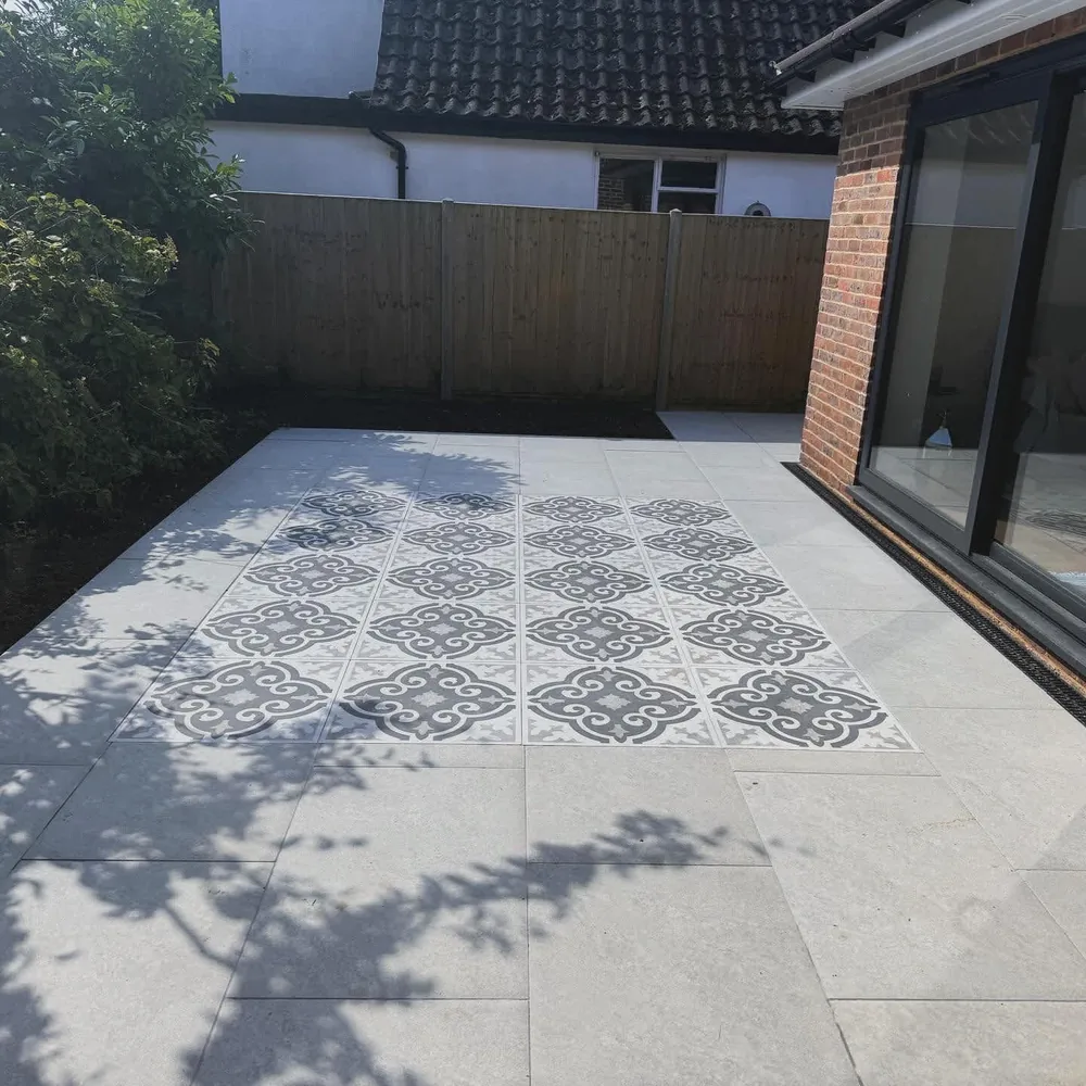
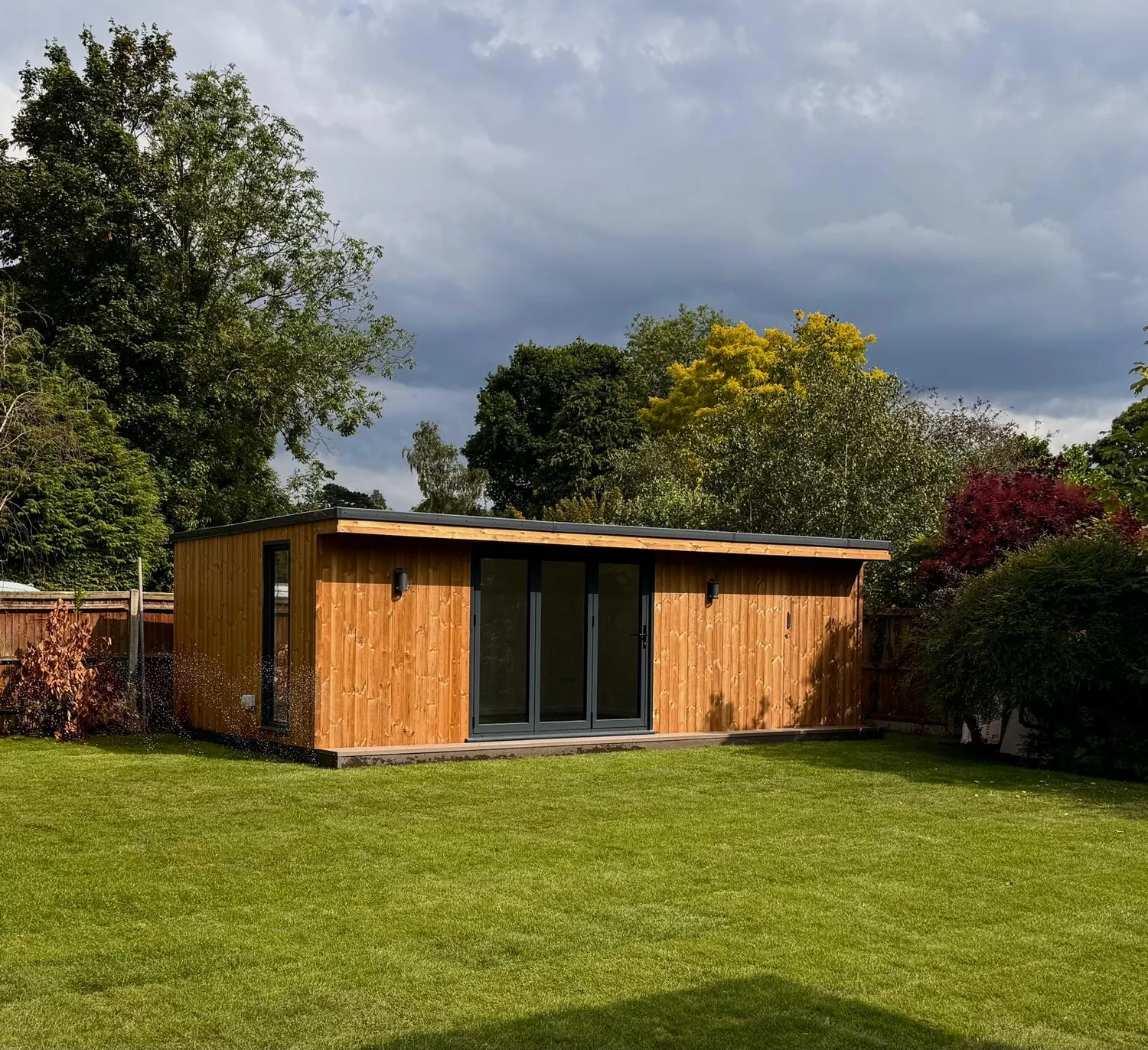
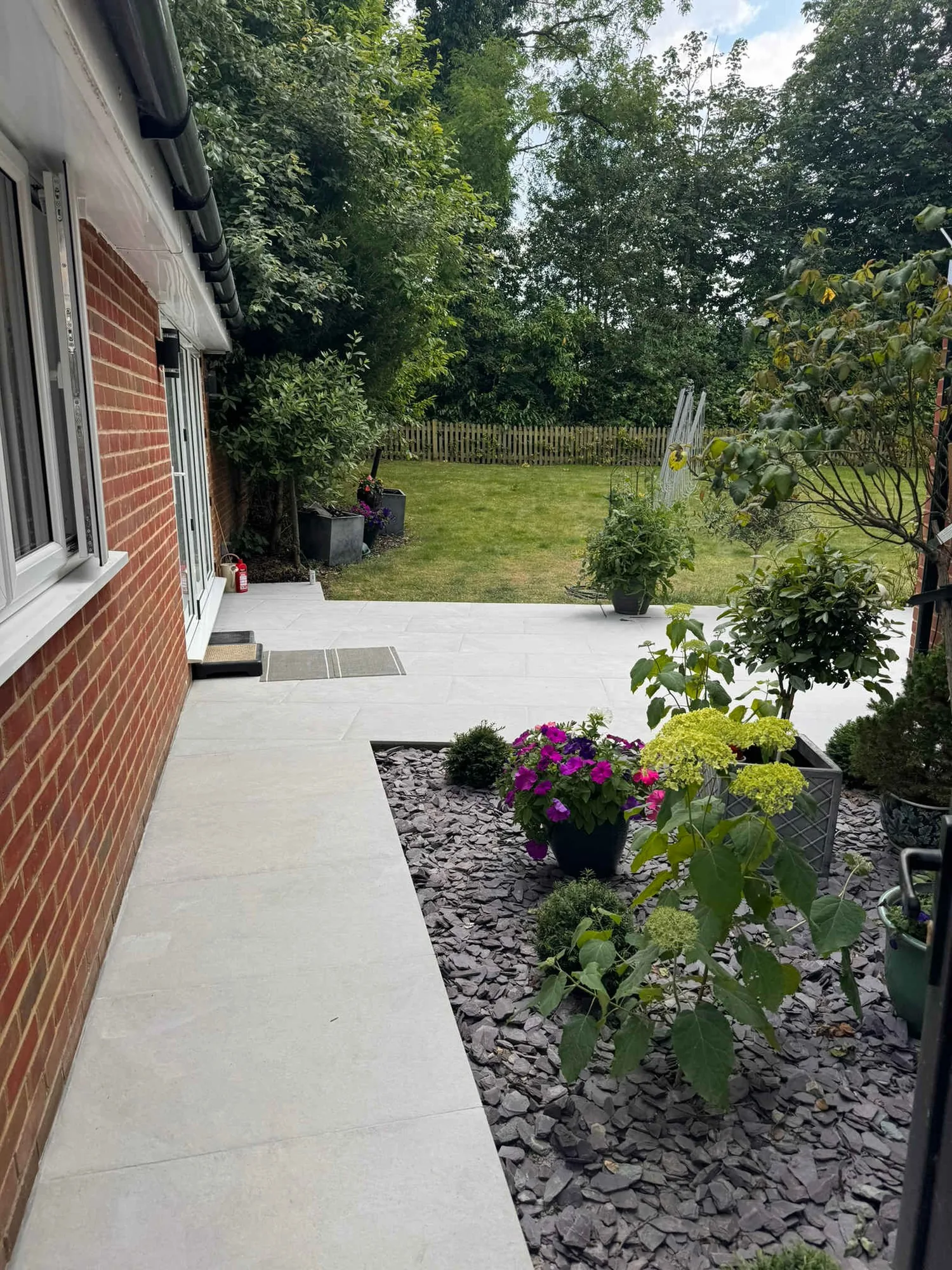
Away from the conservation area it is the full range: block, resin, concrete and shingle drives, porcelain and stone terraces, steps, garden rooms and the ground work under them. The difference in Westerham is that the gradient usually decides the layout before the material does.
- Ragstone and brick boundary walls rebuilt, repaired and extended
- Retaining walls and steps on the steep plots off Hosey Hill and Vicarage Hill
- Simple, quiet paving inside the conservation area, setts and stone rather than loud patterns
- Block, resin, concrete and shingle drives on the newer housing north of the A25
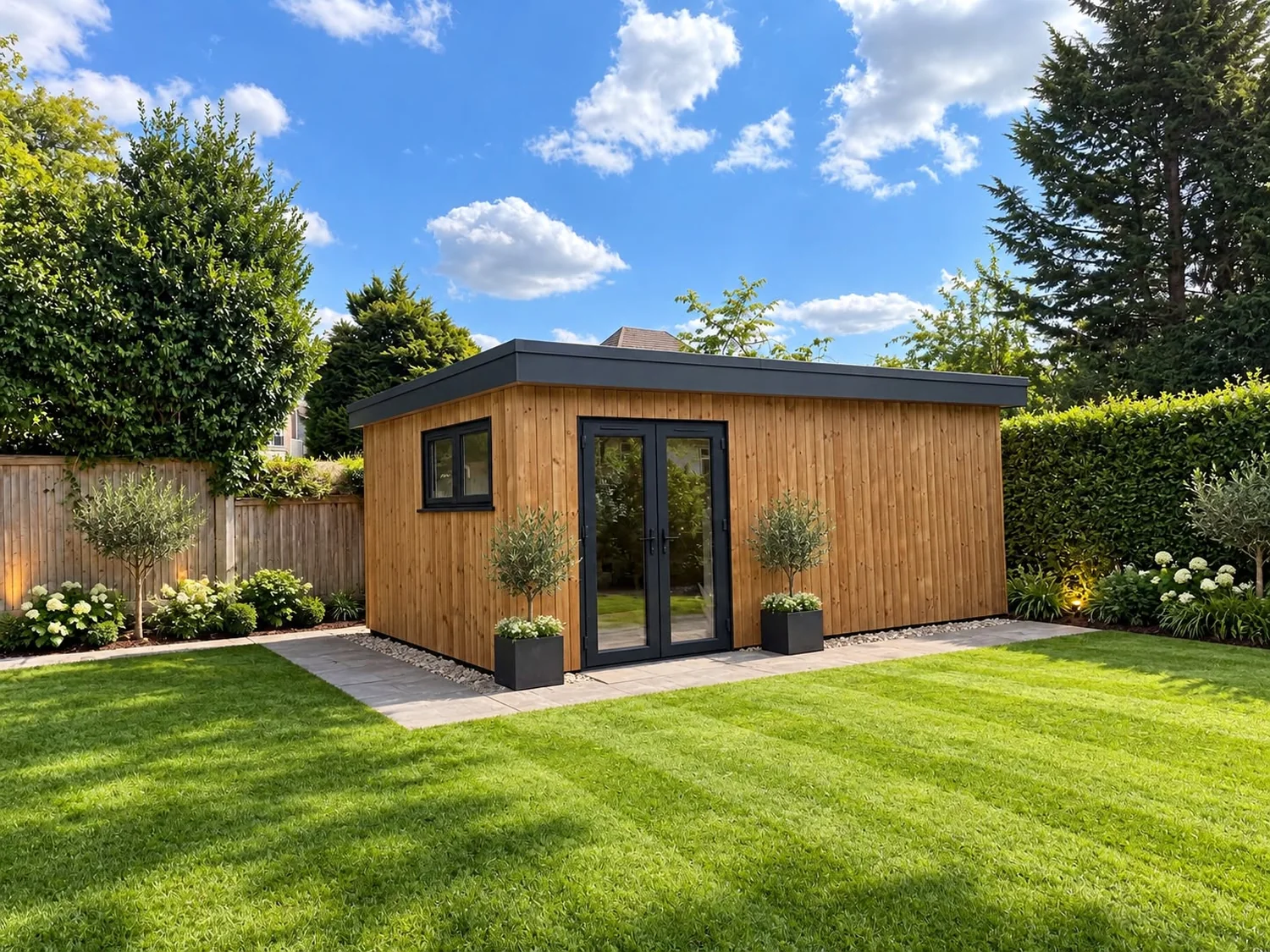
- Porcelain terraces, garden room bases and the drainage that goes round them
Levels, access and permissions
Sevenoaks for Planning, Kent for the Access in One of the Most Constrained Districts in England
Sevenoaks District Council is the planning authority and Kent County Council is the highway authority. Kent's guidance is that you must have its permission before a dropped kerb is installed or extended, or before a new access point is used, because it needs to be satisfied the access will not introduce risks to other road users or damage the road or the pavement.
Sevenoaks is among the most constrained districts in England, with 93 per cent Green Belt and 60 per cent National Landscape. The Kent Downs landscape character assessment names the Westerham Greensand as a local character area within the Sevenoaks Greensand Ridge. The Westerham Conservation Area covers about 36 hectares with around 100 listed buildings, designated in 1973 and extended in 1994, and Brasted Church, Brasted High Street, Sundridge and Ide Hill have conservation areas of their own.
Levels are the other constant. From the centre almost any street falls away to a backdrop of countryside. Hosey Hill is a steep approach from the south, Croydon Road and London Road both head uphill into Market Square from the north, and south of the town the Greensand Ridge rises to over 245m at Toys Hill, while the chalk scarp climbs again to the north at Westerham Hill. Frontages on those approaches are often on a real gradient, which means retaining, steps, a surface that keeps its grip in frost, and a plan for the spoil when the lorry cannot get close to the house.
- Sevenoaks District Council for planning, Kent County Council for the dropped kerb or access point
- Conservation area frontages kept simple, in materials with a local precedent
- Front walls retained and reinstated sympathetically rather than taken out for parking
- Steep approaches surveyed for gradient, grip in frost and spoil removal before we price
Villages and neighbourhoods
Around Westerham
We cover the town and the villages along the ridge and the A25. Tatsfield and Biggin Hill share the TN16 postcode but sit in Surrey and in London respectively.
Our work
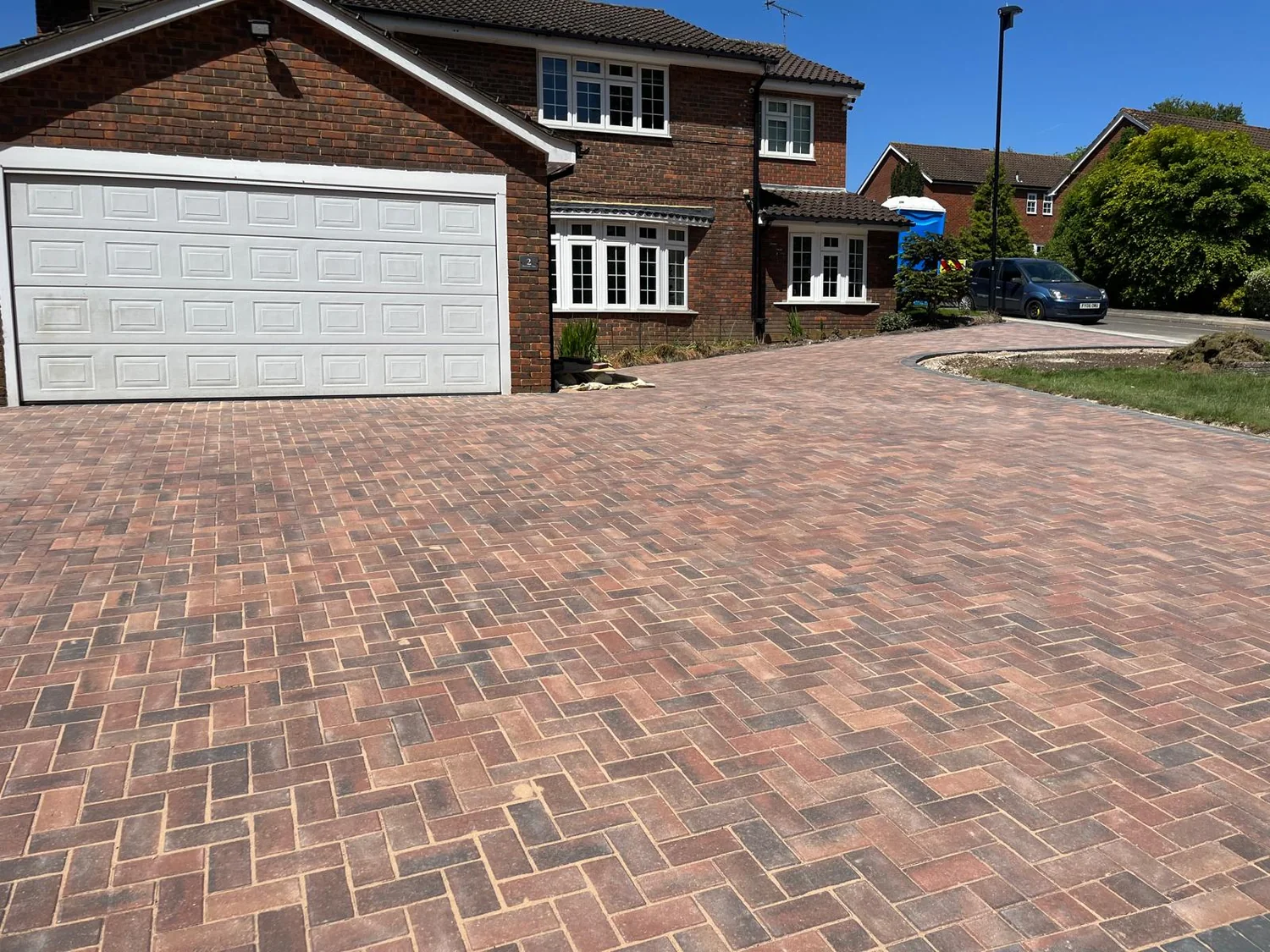
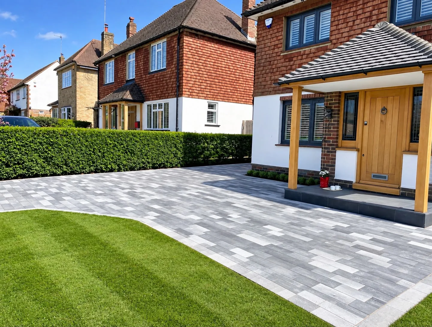
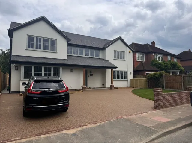
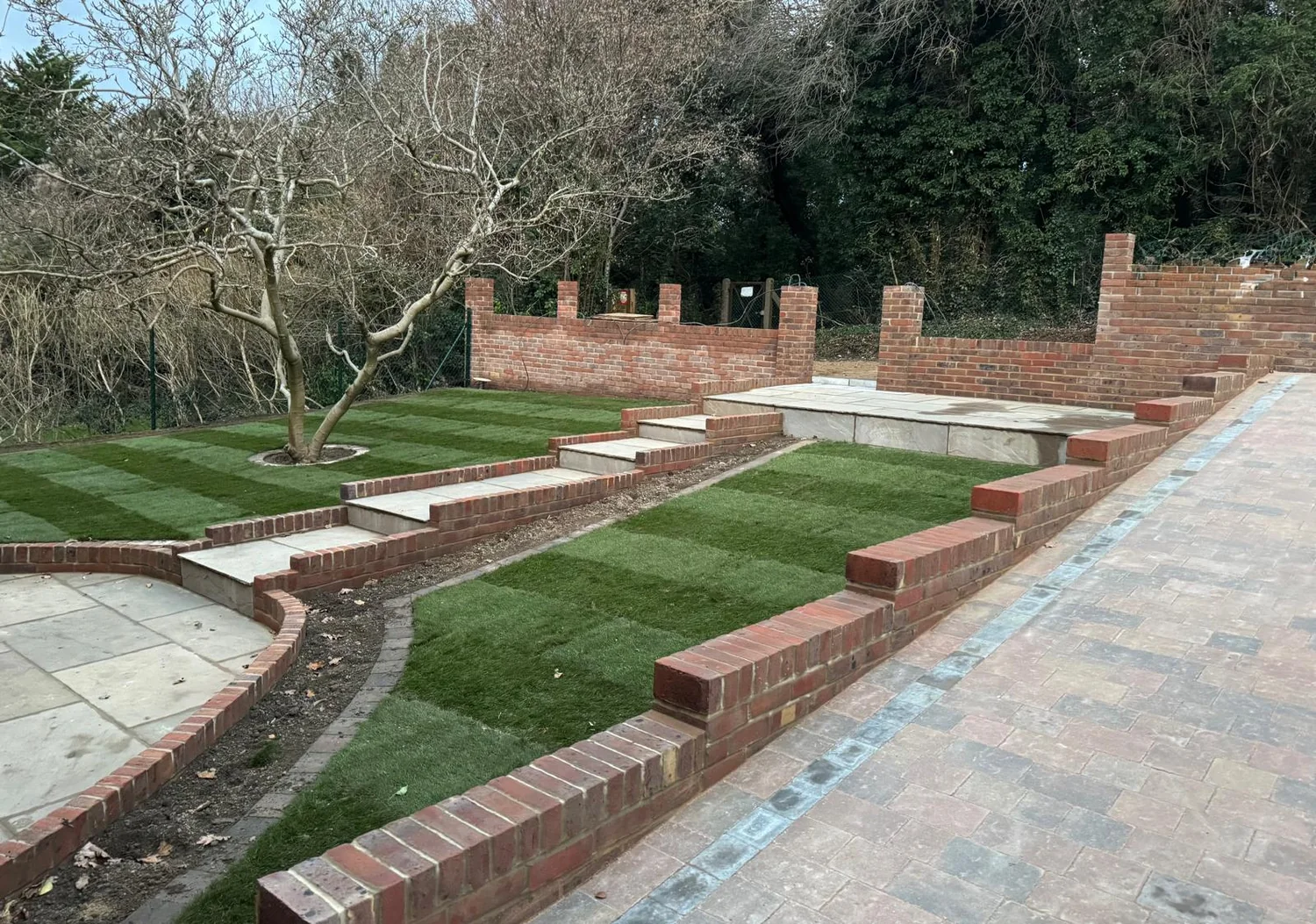
Walling and Paving We Have Built
Questions
Westerham Questions We Get Asked
Who do I apply to for a dropped kerb in Westerham?
Kent County Council, as the highway authority for TN16 addresses in Sevenoaks district. Kent's guidance is that you must have its permission before a dropped kerb is installed or extended, or before a new access point is used, so that it can be satisfied the access will not create risks for other road users or damage the road or the pavement. Sevenoaks District Council remains the planning authority for the surfacing itself.
What paving is acceptable in the Westerham Conservation Area?
Sevenoaks District Council's management plan asks that ground surfaces relate to the local context, that paving be kept simple, that discordant colours be avoided and that historic paving and detail such as kerbs and gulleys be maintained and restored. It criticises the late 20th century herringbone brick pavers in the pedestrianised area as generic with no historic precedent, and points instead to Kentish ragstone, granite setts and the surviving hard limestone and ironstone paving.
Can I take my front wall out to make a parking space?
Think carefully first. The council's management plan states that boundary features, particularly ragstone and brick walls, form an important part of the significance of the conservation area and that any loss is likely to cause harm, so front walls should be retained or reinstated sympathetically. Where an opening is genuinely workable, we would form it with proper piers and reuse the stone rather than leaving a gap, and talk to Sevenoaks before anything is taken down.
We hit rock last time somebody dug here. Is that normal?
On the south side of town, yes. Vicarage Hill and everything climbing towards Hosey Common, Crockham Hill, Chartwell, Brasted Chart and Toys Hill sits on the Hythe Formation, interbedded sandstone and limestone, which is the local Kentish ragstone, and it can appear at shallow depth. We open a trial hole first, so the breaking out, the machine and the muck away are all in the written quote rather than turning up later as an extra.
Why is the ground at Farley Common different again?
Farley Common is where Head deposits of clay, silt, sand and gravel are mapped over the Folkestone Formation. Head is material that has crept downhill and been redeposited, so it is mixed and much less predictable than the sand beneath it. In practice we dig through it to something we can compact, use a separation layer between that and the sub-base, and do not assume it will drain the way the sand around the town centre does.
My frontage is on a slope off Hosey Hill. What does that involve?
Retaining and levels before anything else. Hosey Hill is a steep approach from the south and the plots off it step down, so we work out where the wall goes, how the steps land, and what gradient leaves the drive usable in frost. Access matters just as much: on those roads the lorry often cannot get close, so we agree where the spoil and the deliveries go before the first day.
Do you cover Tatsfield, Biggin Hill and Brasted?
Yes. They are close by, but they are not all Kent for administration. Tatsfield is over the county line in Surrey, in Tandridge district, on Lewes Nodular Chalk. Biggin Hill is north on the A233 in the London Borough of Bromley, on Seaford Chalk. Brasted is east along the A25 in Sevenoaks district, with river terrace deposits of sand and gravel in the valley. Different councils, different ground, so we confirm both before quoting.
Get a quote
Planning an Outdoor Project in Westerham?
Tell us the street and whether there is a wall involved. Free written quotes across Westerham, Hosey Common, Farley Common, Chartwell, Brasted and Toys Hill.
- Free, no-obligation quotationsIn writing, with the build-up and the drainage set out.
- 27 years in the tradeMarshalls Register accredited, Bradstone Assured.
- Fully insuredDomestic and commercial work across Surrey.
Arrange a free site visit
Tell us a little about the project and we will come out, look at the ground and put a written quotation together.
Where we work
Paving, Landscaping & Outdoor Construction Across Surrey
Based in Caterham, we undertake projects throughout Surrey and selected areas of Kent and West Sussex. For larger or more comprehensive projects, we are happy to consider work further afield.