

Lingfield, RH7
Driveways, Patios and Garden Walls in LingfieldSandstone up on the Village, Alluvium Down at the Station
Lingfield sits on the northern edge of the Tunbridge Wells Sand where the land rises out of the Eden flood plain. Half a mile can take you from a firm sandy dig to wet ground that needs a good deal more thought.
Working across RH7
A Village Where the Front Boundary Is Half the Job and the Ground Under It Changes as You Come Down the Hill
Lingfield has a particular problem and the village's own design statement names it: the lack of provision for cars has led people to take out hedges and fences to make room for them, which the statement calls detrimental to the street scene. Almost every driveway we are asked about here is a question about what replaces the front boundary.
We are a family-run company from Caterham, with our own team and 27 years behind the business. Brickwork is part of our core work, so a low capped wall with matching piers and a set of railings goes in alongside the paving, managed as one project.
Work here runs from the Old Town and Plaistow Street through the Victorian roads at Mount Pleasant, Talbot Road and Camden Road, out along Town Hill and Saxby's Lane, and on to Dormansland, Crowhurst, Blindley Heath and Newchapel.
Domestic and commercial work. Fully insured, free written quotes, insurance work undertaken, and 10 out of 10 on Checkatrade.
The ground
Sand on the Rise, Clay and Silt at the Bottom Three Different Digs Inside One RH7 Postcode
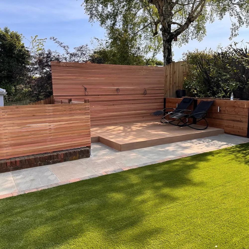
British Geological Survey mapping puts the village on the Upper Tunbridge Wells Sand, described as interbedded sandstone and siltstone, and the Lingfield Village Design Statement says it in plain terms: the village sits on the northern edge of the Tunbridge Wells Sandstone beds, where the land rises from the Wealden clay of the River Eden flood plain. Interbedded means a mixed dig, with firmer sandstone bands and softer silty layers that can change within the length of one driveway.
Down at the station and across the water meadows the bedrock is covered by mapped alluvium of clay, silt, sand and gravel. That ground is soft and wet. It wants a deeper excavation, a separation layer keeping the stone out of the silt, and careful thinking about where the water goes before a single block is laid.
North and west towards Crowhurst and Blindley Heath the bedrock changes to Weald Clay mudstone. That is shrink and swell ground: it holds water, moves with the seasons and will not take a soakaway kindly, so the sub-base goes in thicker and the water is taken away positively rather than left to sit under the paving.
None of that is visible from the pavement, which is why we dig a trial hole rather than quote off a photograph. On a village where the geology changes as the road drops, the hole is the cheapest half hour of the whole job.
- A trial hole first, because the silty bands do not announce themselves from the surface
- Deeper dig and a separation geotextile on the alluvium near the station and the water meadows
- Thicker sub-base and positive drainage on the Weald Clay towards Crowhurst and Blindley Heath
- Free draining build ups used where the sandstone will genuinely take the water
The houses
Two Medieval Centres, Then a Century of Infill and a Front Boundary That Gives the Village Its Character
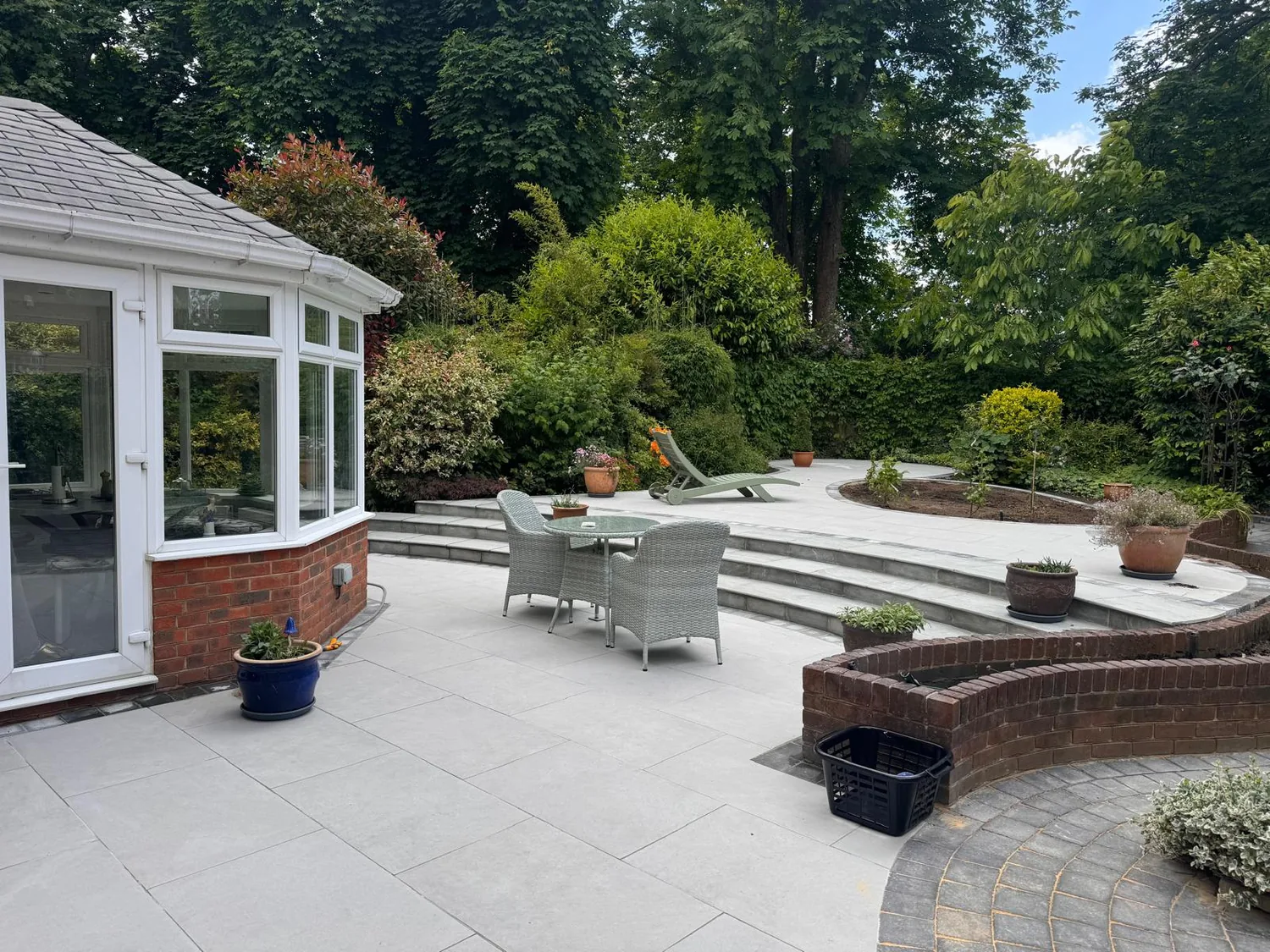
Lingfield grew from two medieval settlements that merged in the late 19th century: the Old Town beside the church, and Plaistow Street about 180 metres away at the junction of five roads. Both still hold timber framed farmhouses and cottages, usually with tiled roofs, the framing often covered by tile hanging with brickwork to the ground floor. The present High Street was built from the middle of the 19th century in brick with slate roofs, frequently in two tone yellow and red brickwork.
The railway brought speculative developers who laid out Mount Pleasant, Talbot Road and Camden Road, with ribbon development along existing roads, notably Town Hill and Saxby's Lane, in semi-detached artisan pairs and individually built plots. Local authority housing followed, infilling at Drivers Mead and Bakers Lane, and the past fifty years have been continuous private estates with one and two house infill between them.
The boundary that ties all of that together is a low brick wall, capped and ended with matching piers, with decorative iron railings often used on the Victorian and Edwardian frontages. Closes such as College Close are open plan instead, and that is their character. Take a hedge out for a parking space on a road where every house has a capped wall and the gap shows from fifty metres away.
Mount Pleasant is the clearest example of it. The design statement records a consistent front boundary treatment running across houses of quite different sizes, which is exactly the type of street where a new opening has to be built rather than simply cut.
- Low brick walls, caps and matching piers rebuilt to suit the house they belong to
- Iron railings set into the wall on the Victorian and Edwardian frontages
- Narrow artisan pairs on Town Hill and Saxby's Lane where the width has to be earned
- Open plan frontages kept open where that is the pattern of the close
What we do here
Paving and Brickwork, Usually in the Same Visit off Street Parking That Does Not Cost the Street Its Face
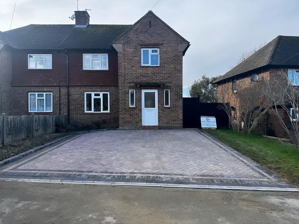
The design statement asks that off street parking be provided, that large expanses of uninterrupted hard surface be avoided, that expanses of concrete bricks be limited, and that new front boundaries be of high quality, for example low brick walls with some ironwork, or hedges planted with native species. That reads like a restriction. It is a sound brief, and it is how we would build it anyway.
So the usual Lingfield job is a driveway broken up rather than laid as one flat field of colour: a clay paver or block surface with a contrasting border, a soldier course at the edge, a strip of planting kept at the front, and a rebuilt wall with piers holding it all in. The statement notes that no particular type of paving is considered characteristic of the locality, though there are a few cobblestones outside the Greyhound Inn and small areas of red brick in the Old Town, and that a mixture of surfaces is often more pleasing than one large area of the same thing.
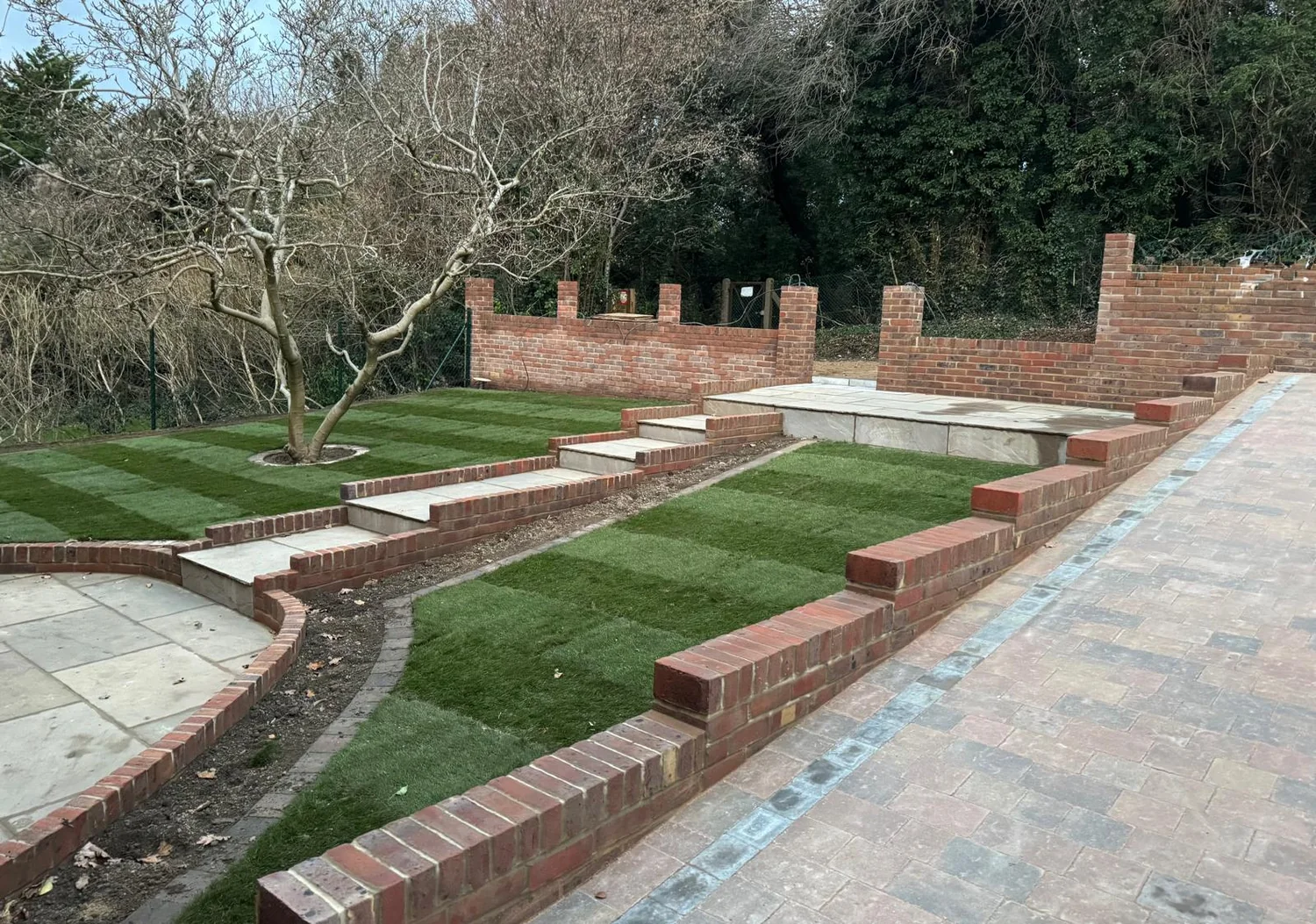
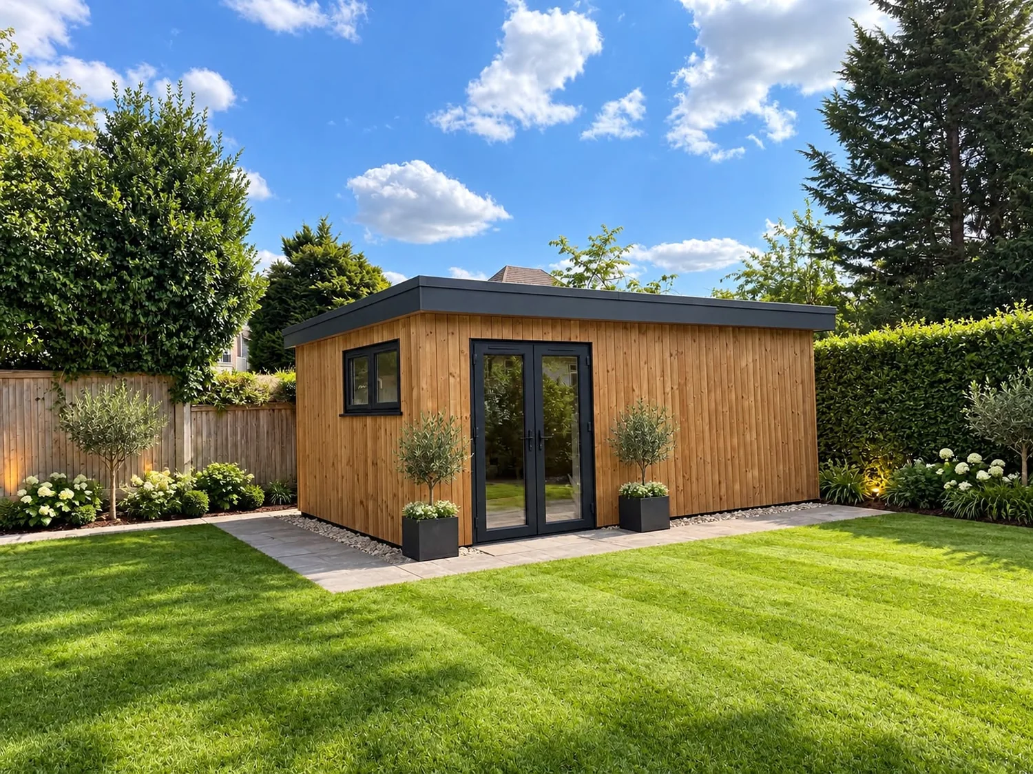
Away from the frontages we do terraces, garden walls and steps on the plots that fall towards the racecourse and the fields at the foot of Town Hill, and garden rooms on the longer gardens where there is depth to put one.
- Block and clay paver driveways with borders, soldier courses and a planted strip kept at the front
- Low walls, caps, piers and railings built as part of the same job, not sub let
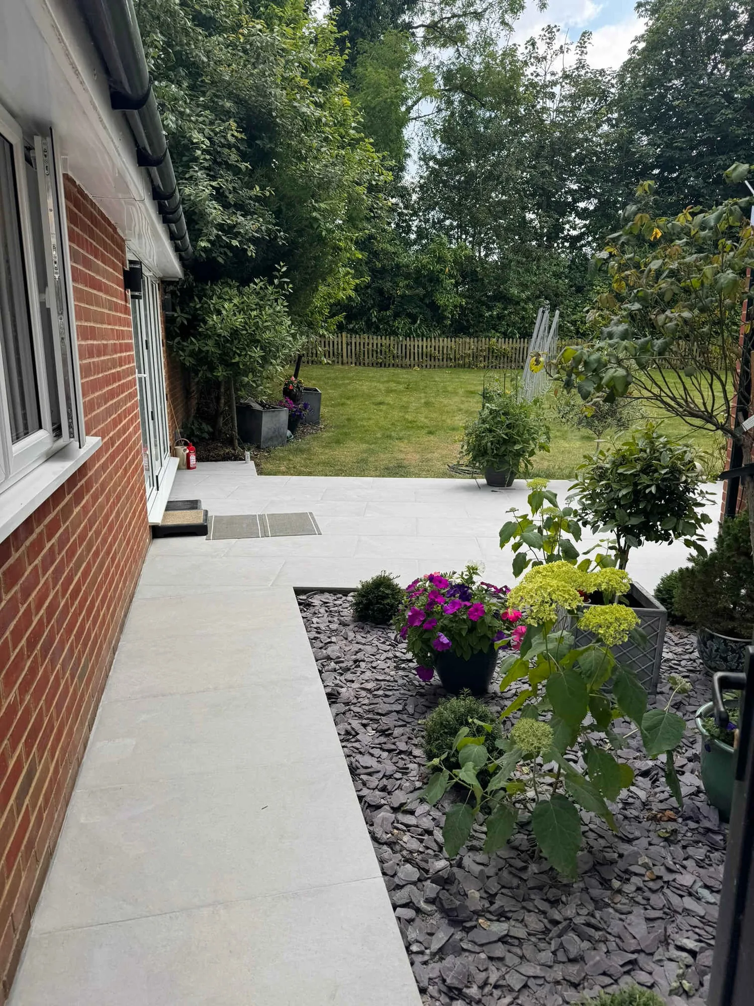
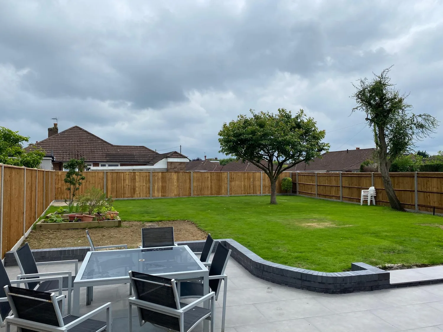
- Porcelain and sandstone terraces laid to a fall that keeps water off the brickwork
- Steps and retaining on the plots that drop towards the racecourse
- Fencing, turfing, artificial grass and flower beds to finish the frontage off
Levels, access and permissions
Tandridge for Planning, Surrey for the Crossover and Allow Six Weeks Before You Want the Machine on Site
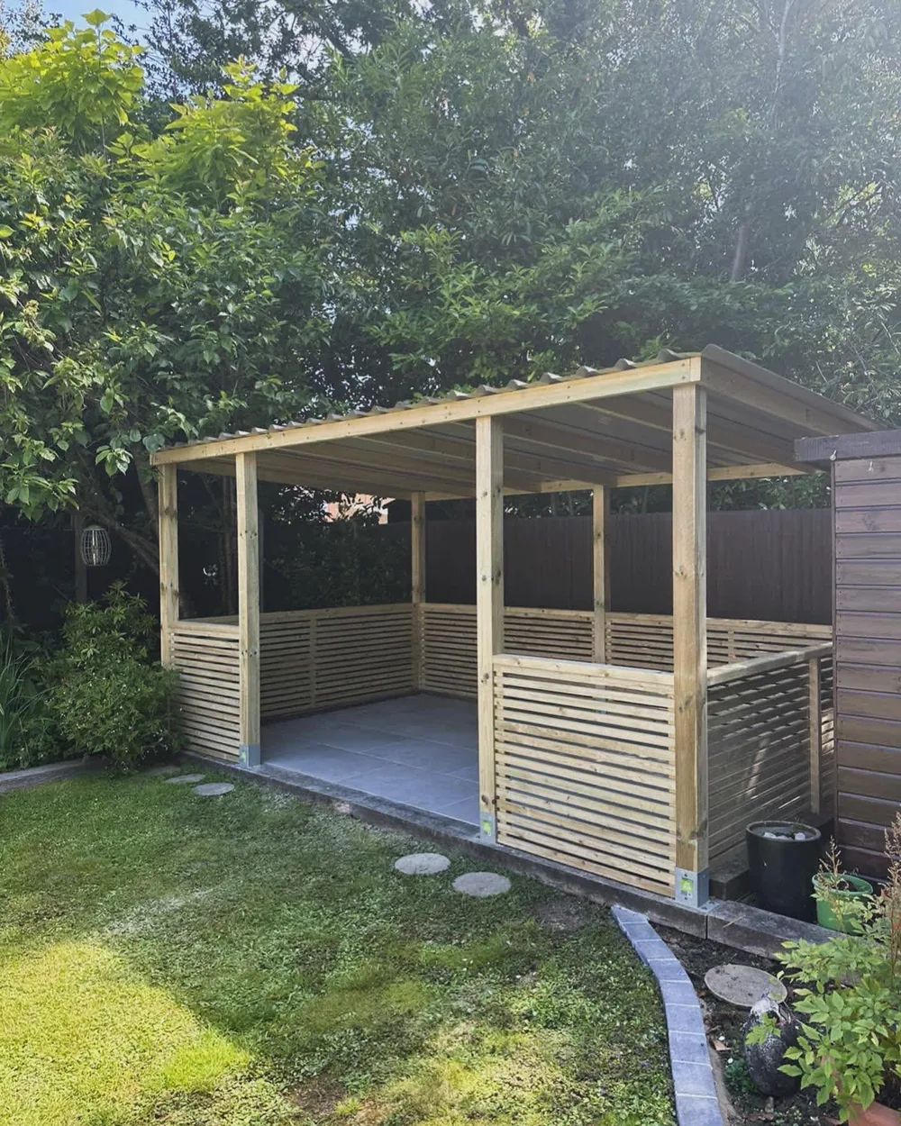
Tandridge District Council is the planning authority and Surrey County Council is the highway authority for vehicle crossovers. Surrey asks you to contact the district council first to establish whether planning permission is required, and to supply either the approved application or written confirmation that none is needed. It warns that confirmation may take up to six weeks and may be charged for. Surrey also asks that a standard family sized vehicle can be parked at the proposed location without overhanging the footpath or the road, and states that it is an offence to carry out works on the footway without express permission.
The Lingfield Conservation Area is listed by Tandridge as originally designated in three areas, Gun Pond, Church Town and the High Street, with designation dates spanning 1972 to 1990 and covering 19 hectares. The Village Design Statement is adopted by Tandridge as supplementary planning guidance, so what it says about hard surfacing and boundaries carries real weight in a decision. Metropolitan Green Belt surrounds the village.
On levels, the centre stands on higher ground, which is why the parish church spire can be seen across fields from most directions, and the parish runs from roughly 76m down to 46.5m above Ordnance Datum. The approach from East Grinstead up Jacks Bridge hill is steep, banked on both sides and without a footway, and Town Hill drops towards the racecourse. Those are the roads we check for access before a grab lorry is booked.
- Tandridge District Council for planning, Surrey County Council for the dropped kerb
- Start the planning confirmation early: Surrey allows up to six weeks for it
- Steep, bank sided approaches with no footway, so access and deliveries get checked first
- Green Belt and conservation area frontages built in materials that suit the street
Villages and neighbourhoods
Around Lingfield
We work right across RH7 and the villages that sit around it. Felcourt and Dormans Park carry RH19 postcodes but are the same run out for us.
Our work
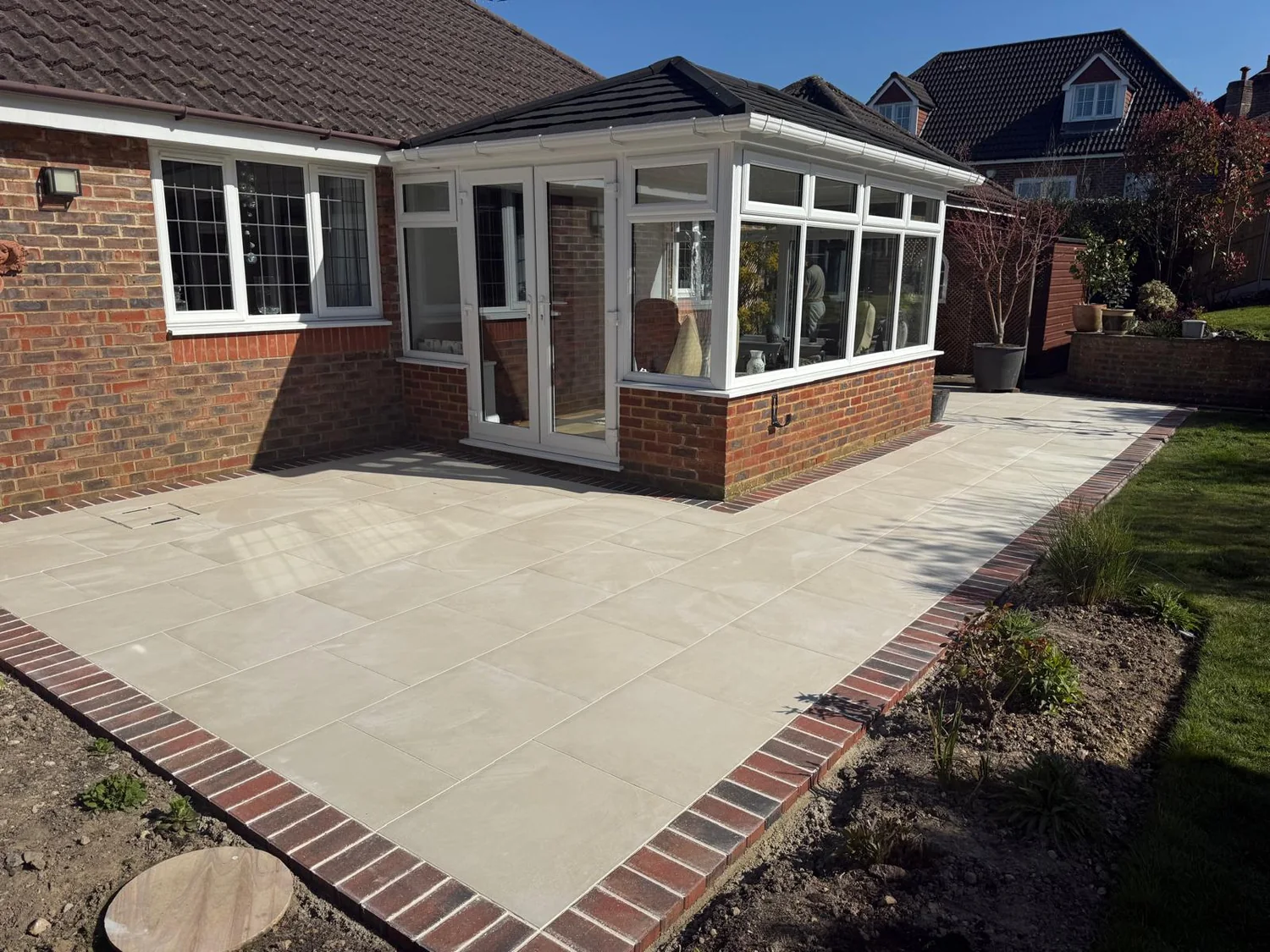
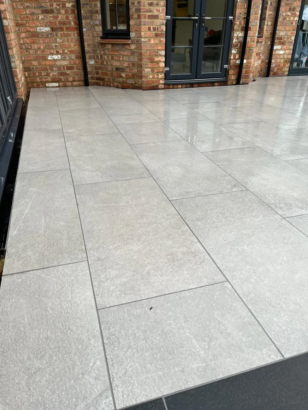
Paving and Walling We Have Built
Questions
Lingfield Questions We Get Asked
Can I take out my front hedge or wall to park a car?
You can usually make an opening, but think hard about what goes back. The Lingfield Village Design Statement records that the lack of provision for cars has led people to remove hedges or fences, and describes that as detrimental to the street scene. It asks for new front boundaries of high quality, for example low brick walls with some ironwork, or hedges planted with native species. Tandridge has adopted it as supplementary planning guidance, so it is worth following rather than ignoring.
Who do I apply to for a dropped kerb in Lingfield?
Surrey County Council, as the highway authority. Surrey asks you to contact Tandridge District Council first to establish whether planning permission is needed, and to send either the approved application or written confirmation that none is required. It says that confirmation may take up to six weeks and may carry a charge. Surrey also wants a standard family sized vehicle to fit at the proposed location without overhanging the footpath or the road.
The ground near the station is always wet. Can you still lay a drive there?
Yes, but not with a standard build. The water meadows and the land beside the station sit on mapped alluvium of clay, silt, sand and gravel over the bedrock. We dig deeper to reach something we can compact, put a separation geotextile between the sub-base and the soft ground so the stone does not disappear into it, and plan the surface water route before we start rather than hoping a soakaway will cope.
Why is my dig different from my neighbour's on the same road?
Because the village sits on interbedded sandstone and siltstone. The sandstone bands are firmer and drain well, the silty layers hold water and soften, and the two can change over within the length of one driveway. That is why we open a trial hole and price off what is there. It is also why a quote given over the phone from a photograph is a guess dressed up as a number.
What happens on the Weald Clay towards Crowhurst and Blindley Heath?
The build gets heavier. Weald Clay mudstone holds water and moves with the seasons, so the sub-base goes in thicker and compacted in layers, the formation is kept off standing water while it is open, and the drainage is taken to a positive outlet rather than a soakaway. Get any of that wrong on clay and the drive looks fine in June and shows wheel ruts by March.
Can you match the brickwork on a Victorian wall on Mount Pleasant?
Usually, yes. The pattern along those roads is a low wall, a cap and matching piers, often with iron railings, and the design statement notes how consistently it runs across houses of different sizes. We build the new section in a brick and bond that sits with the original, reuse the caps where they are sound, and set the piers so a car can turn in without clipping them.
Do you cover Dormansland, Newchapel and Felcourt?
Yes, all of them, along with Crowhurst, Blindley Heath and Dormans Park. Dormansland is a separate civil parish east of Lingfield with no conservation area of its own. Felcourt and Dormans Park lie south, well treed and low density, and they carry RH19 postcodes while still sitting in Tandridge district and Surrey for planning and highways, so the paperwork is the same as the rest of the village.
Get a quote
Planning an Outdoor Project in Lingfield?
Tell us the road, and whether you want the wall rebuilt with it. Free written quotes across Lingfield, Dormansland, Crowhurst, Blindley Heath and Newchapel.
- Free, no-obligation quotationsIn writing, with the build-up and the drainage set out.
- 27 years in the tradeMarshalls Register accredited, Bradstone Assured.
- Fully insuredDomestic and commercial work across Surrey.
Arrange a free site visit
Tell us a little about the project and we will come out, look at the ground and put a written quotation together.
Where we work
Paving, Landscaping & Outdoor Construction Across Surrey
Based in Caterham, we undertake projects throughout Surrey and selected areas of Kent and West Sussex. For larger or more comprehensive projects, we are happy to consider work further afield.