

Sanderstead, CR2
Driveways and Patios in SandersteadThree Kinds of Ground Inside One Hilltop Town
Sanderstead sits on a hilltop with sand under the village and chalk down the flanks. That is three different digs inside one town, and each one wants a different base and a different drainage plan.
Sanderstead, CR2
The Odd One Out, Geologically and It Changes What a Drive Needs Street by Street
Most of the towns south of Croydon are chalk and not much else. Sanderstead is not. The village core sits on sand, the flanks are chalk, and the higher ground towards Hamsey Green is capped with a flinty clay. Three different sub-base and drainage decisions inside one town, a few hundred metres apart.
The other thing that sets Sanderstead apart is that it is a hilltop rather than a valley. The pond and the shops are near the top and the ground falls away on every side towards the station, Purley Downs and Croham Hurst. That makes the village core straightforward to set out and the flanks a levels job.
We are a family-run company from Caterham and the core work is delivered and managed by us: the dig, the drainage, the sub-base, the edging, the brickwork and the laying. On a 1930s Sanderstead frontage that matters, because the wall, the piers, the planting and the drive are one piece of work.
27 years at it. Marshalls Register of Accredited Landscape Contractors and Driveway Installers, London Stone registered installer, Bradstone assured installer, 10 out of 10 on Checkatrade, fully insured, domestic and commercial, and free written quotes with the specification next to the price.
Under the front garden
Sand at the Pond, Chalk on the Hill, Flinty Clay at Hamsey Green and Each One Needs a Different Answer
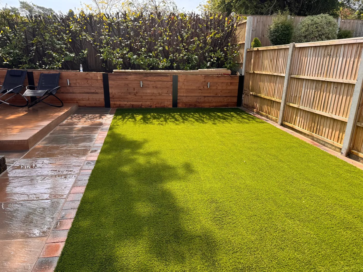
Under the village core, around Sanderstead Pond and the Limpsfield Road shops, BGS 1:50,000 mapping returns the Thanet Formation as bedrock: a glauconitic silty fine grained sand resting on the chalk across an irregular karstic surface. So the dig there is sand, not chalk. Sand is free draining and easy to work, but it will run if it is not restrained, so edge detail and haunching carry more of the load than usual.
Move a few hundred metres and it changes. Sanderstead Hill, Mitchley Avenue, Riddlesdown Road and Purley Downs all return the chalk formations, the Lewes Nodular, Seaford and Newhaven, undifferentiated. That drains well but softens and pumps when it is worked wet, so the formation gets protected the day it is opened and the sub-base is compacted in layers. Selsdon, on the eastern side, is chalk with no superficial cover mapped over it either.
Wentworth Way and Hamsey Green are capped with Clay with Flints, a sandy clay full of flint nodules sitting in dissolution hollows in the chalk. That will not take a soakaway, so the water has to be routed somewhere it can go. Unlike Purley, Kenley and Coulsdon, Sanderstead is not named in Croydon's flood strategy as a chalk valley groundwater route, which fits a town sitting on a hilltop above a dry valley: the water problem here is what happens on your own frontage, not what comes up out of the ground.
- Edge restraint and haunching detailed properly on the Thanet sand around the pond
- Chalk formation on the flanks covered as soon as it is exposed and never trafficked wet
- Surface water routed away rather than into a soakaway on the Hamsey Green clay cap
- Ground checked on site rather than assumed, because it changes street by street
The houses
A 1930s Suburb With Low Front Walls and Ordered Openness and a Council That Has Noticed Front Gardens Disappearing
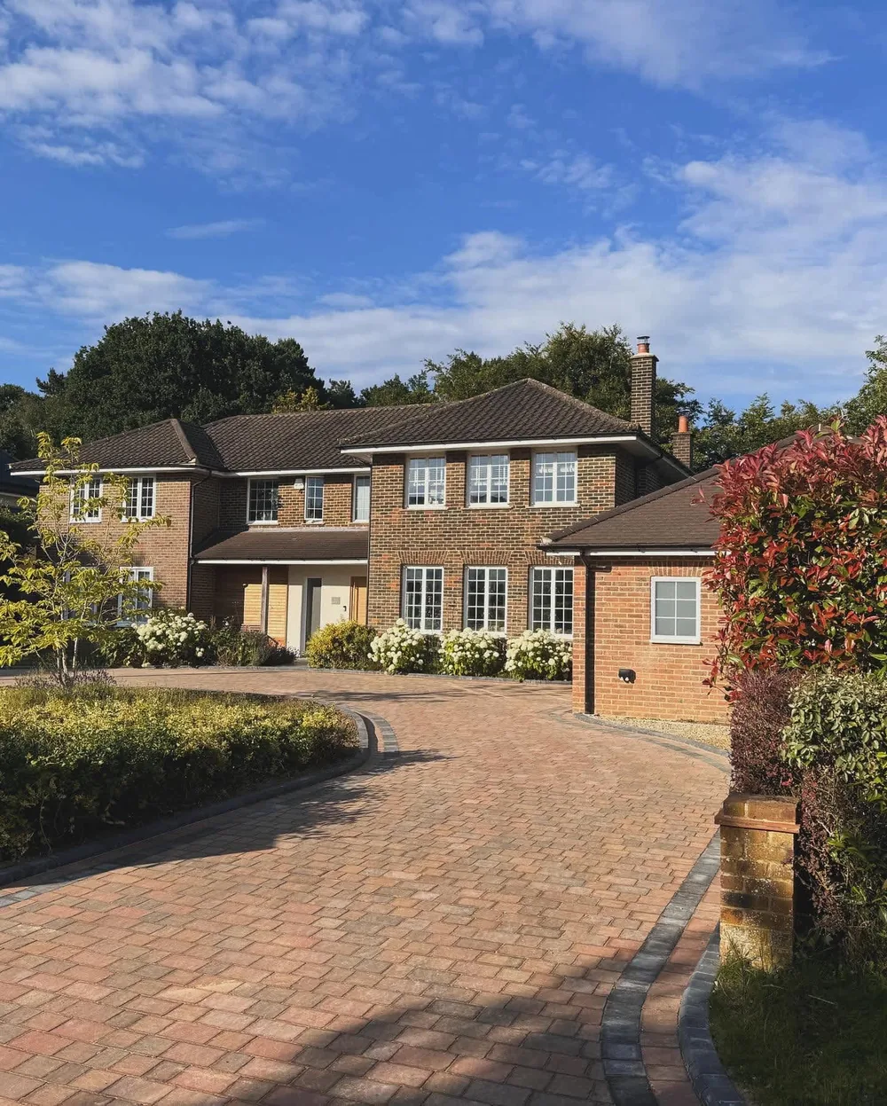
The Local Plan describes Sanderstead as a suburban Place on a hilltop that will continue to be a predominantly 1930s suburb with a village character focused on the pond and the church. The predominant residential character is detached houses on relatively large plots on the hillsides running down to the local centre, planned estates of semi-detached houses at the top of Sanderstead Hill, and some local authority housing towards Hamsey Green.
West Hill is the classic Sanderstead job. Large detached houses laid out in the 1930s and filled in gradually, with a consistent building line and large front gardens of mature trees, shrubs and lawn bounded by low brick walls, some with piers. The council calls the result an appearance of ordered openness. East Hill and Hook Hill are the same idea, set well back from the front boundary with generous soft landscaping in between, and 14 Hook Hill is Grade II listed, so on that stretch it is worth knowing what sits next door before anyone changes a boundary.
The council's heritage review specifically lists extending paving in front gardens to take more parking as a negative change on West Hill, along with new boundary walls that are unsympathetic in design, material or height. So the wall, the piers and the planting are part of the job rather than an afterthought. Growth here is expected to be infill and windfall rather than new estates, which is why most of our work is replacing and extending drives first laid in the 1930s.
- Low front walls and piers rebuilt to match what is already on the street
- Drives widened without swallowing the front garden or breaking the building line
- Old 1930s drives dug out and rebuilt rather than surfaced over
- Planting kept along the boundary so the frontage still reads as a garden
What we do most in Sanderstead
Replacing 1930s Drives, and Rebuilding the Walls With Them Then Terraces and Garden Rooms Behind
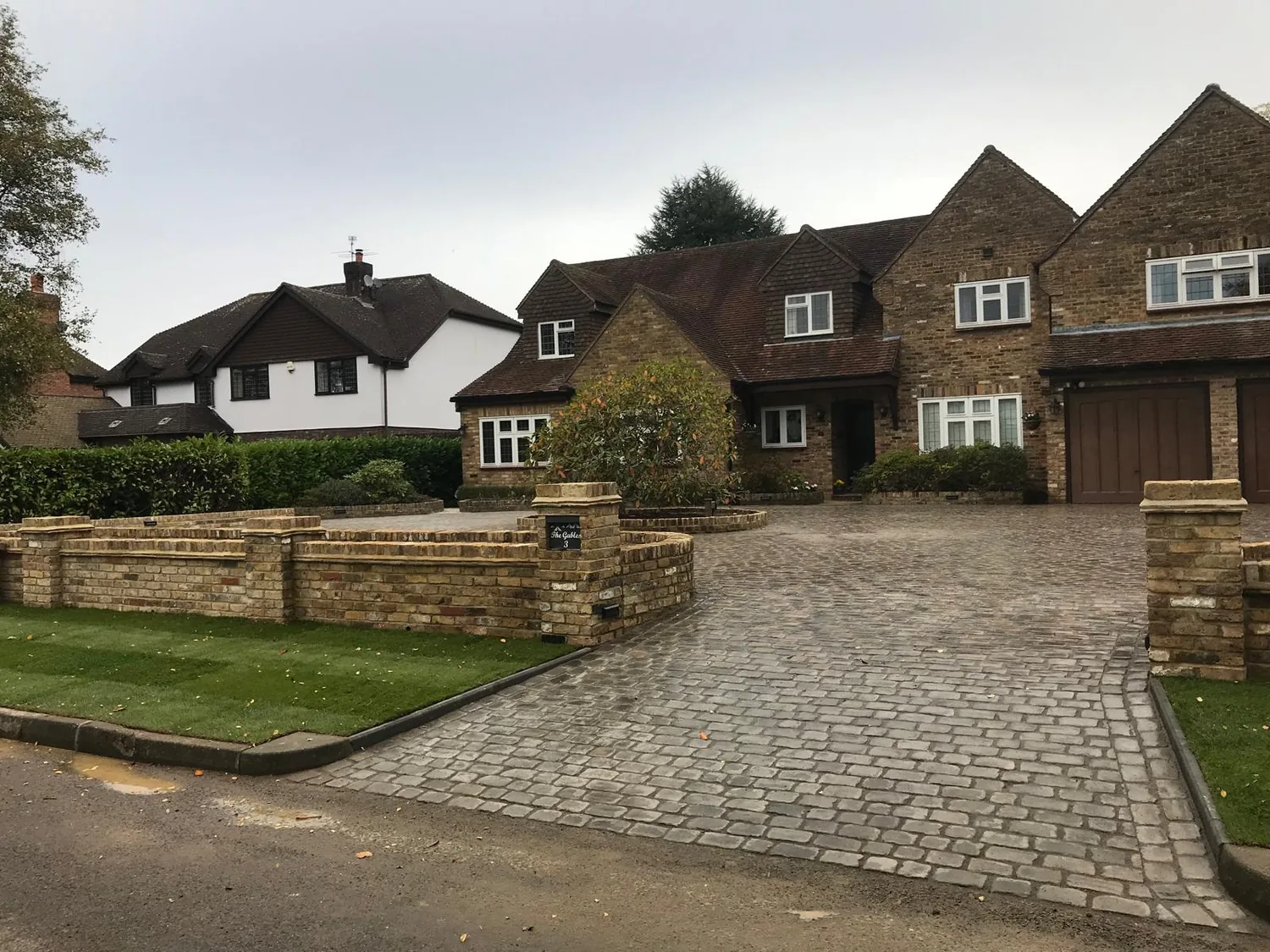
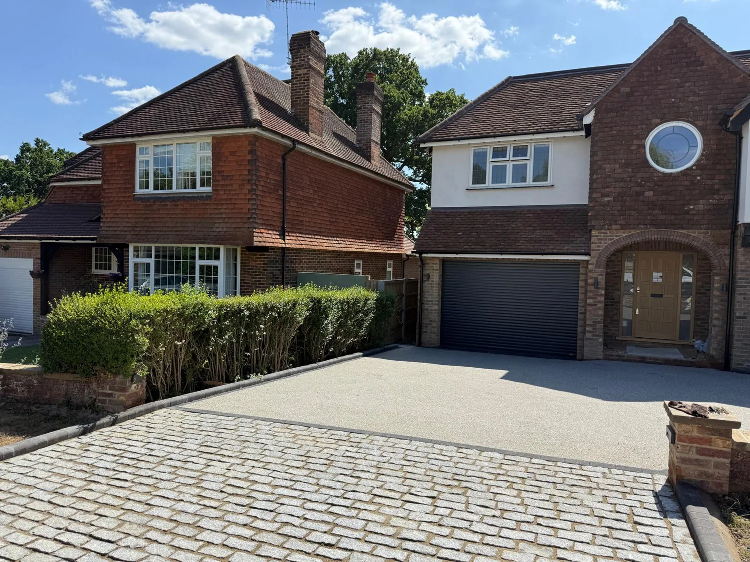
Many of the Sanderstead drives we are asked to look at were built for one small car and have been patched ever since. The base was never deep enough for two modern cars, so there is a dip where the wheels sit and a ridge where the car turns in. We dig those out to proper depth, correct the fall away from the house, restrain the edges and lay a surface on a base that will carry the load.
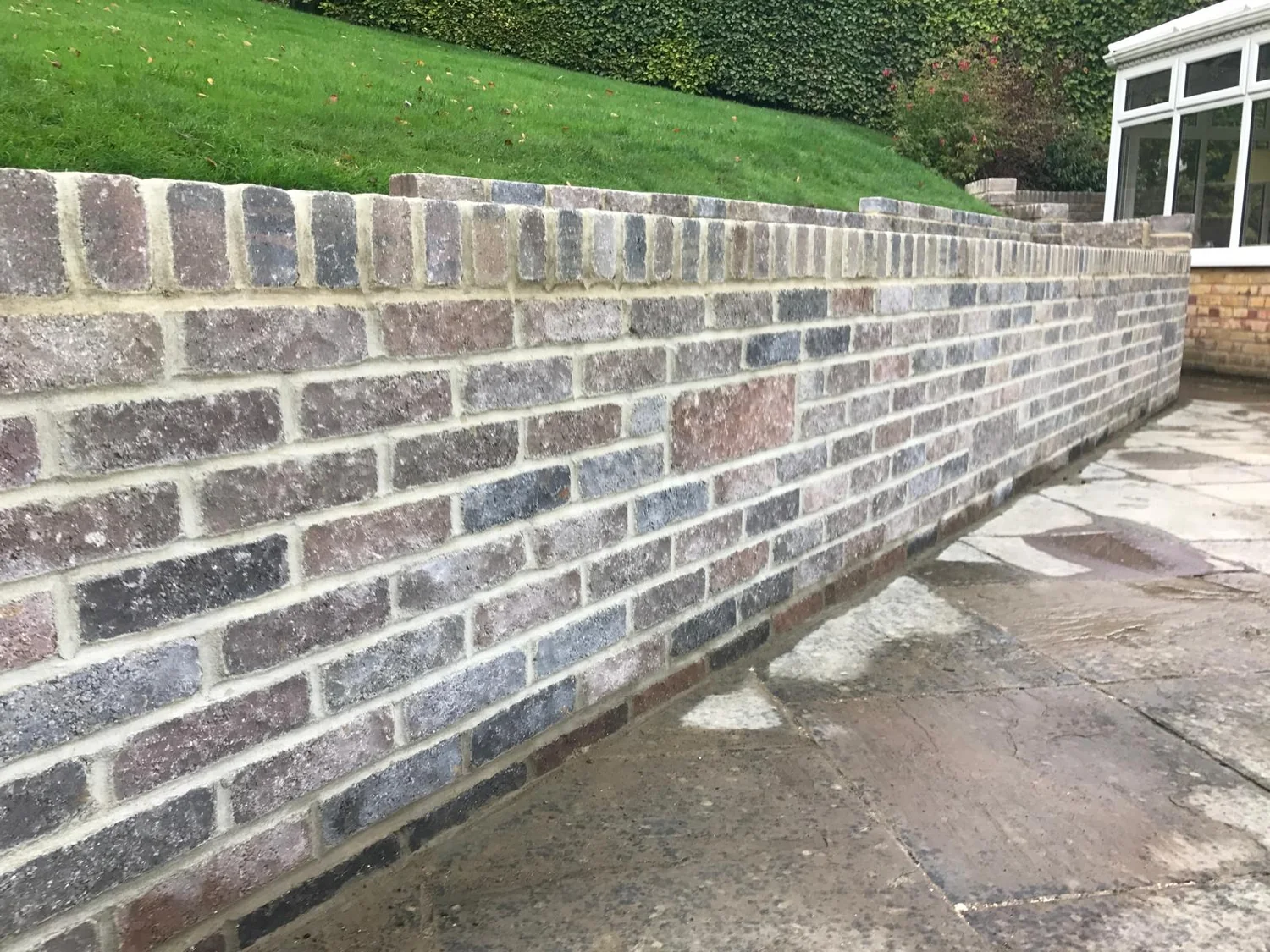
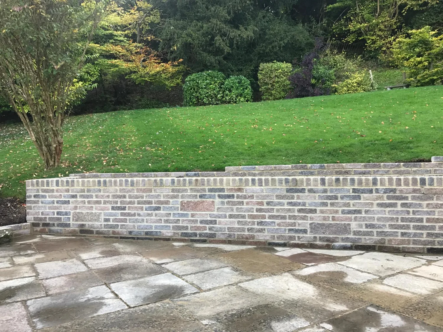
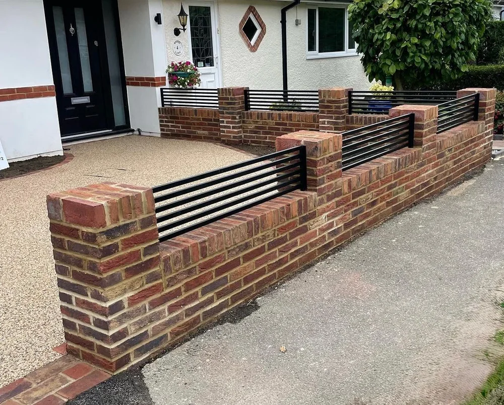
The brickwork usually comes with it. A new drive alongside a tired low wall looks half finished, and a wall rebuilt in the wrong brick or the wrong height looks worse than leaving it. We match brick, bond and coping to the street, and set the piers so the gate opening works with the drive levels. At Hamsey Green the local policy asks new work to use multi stock brick or white render as the main facing material, which is a useful steer even on a garden wall.
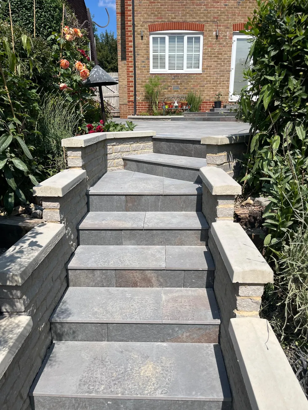
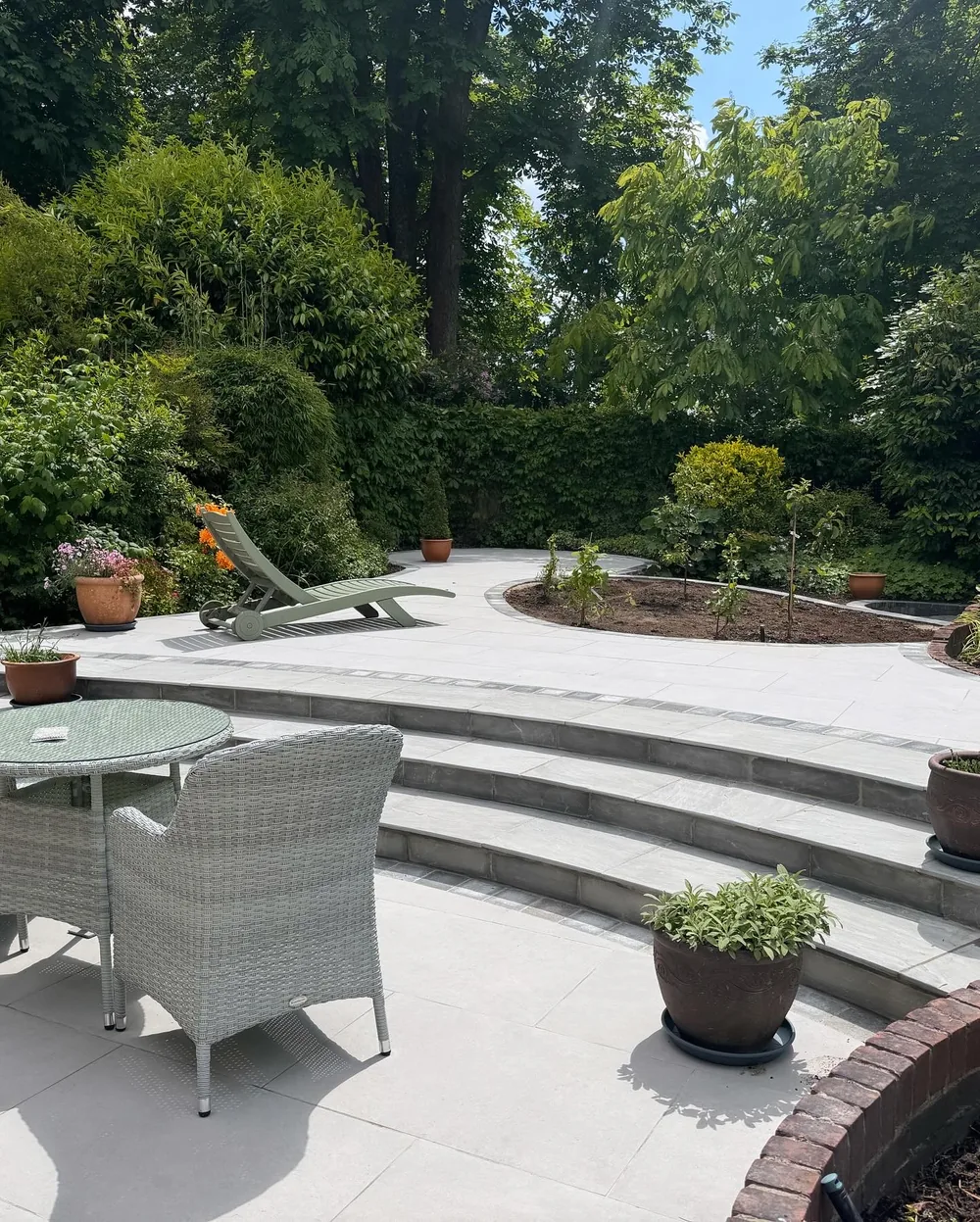
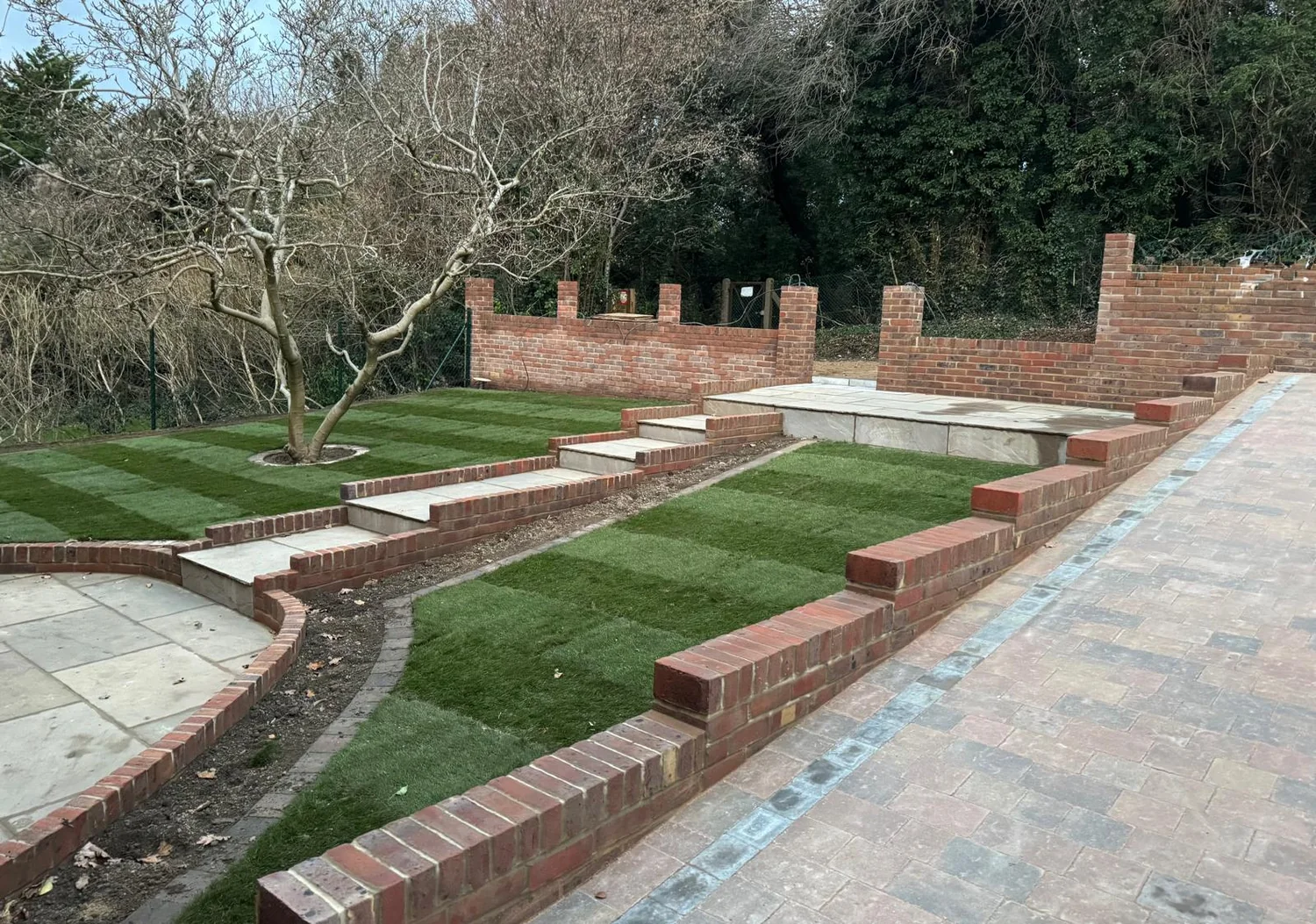
Behind the houses, the flanks give you sloping gardens with a view, so we build porcelain and sandstone terraces cut into the slope, with steps, retaining and a garden room base at the level where you want to sit.
- 1930s drives dug out to depth, re-based and re-laid to a fall that clears the house
- Low brick walls and piers rebuilt to match the bond, brick and coping on the street
- Porcelain and sandstone terraces cut into the slope on West Hill and Mitchley Avenue
- Garden room bases levelled, drained and screeded on ground that falls away
- Steps and handrails on the drops towards the station and Croham Hurst
Levels, access and permission
165 Metres at the Pond, and It Drops Away on Every Side With No Conservation Area to Work Around
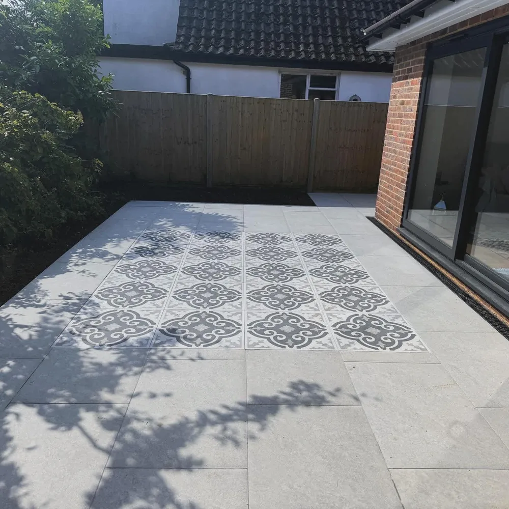
Sanderstead Pond sits at about 165 m and Hamsey Green at about 169 m, while Sanderstead Hill is about 126 m, Mitchley Avenue about 124 m and Purley Downs about 118 m. The village core along Limpsfield Road is comparatively flat and easy to set out. The steep work is on the flanks running down towards the station, which sits at the foot of the dry valley, and towards Purley Downs and Croham Hurst, where drives want stepping, cross falls and retaining.
The planning authority is the London Borough of Croydon. Sanderstead does not contain any of the borough's conservation areas, which makes front garden work simpler here than in Purley, Kenley or Old Coulsdon. Metropolitan Green Belt applies across the Sanderstead Place, and Metropolitan Open Land covers Purley Downs, Sanderstead Plantation and Croham Hurst. Policy DM43 asks proposals in Sanderstead Local Centre to reinforce the suburban shopping area character, retain wide vistas and strengthen the visual connections to the green open spaces, and asks Hamsey Green schemes to use multi stock brick or white render as the predominant facing material.
There are no Transport for London red routes inside Sanderstead itself. The nearest are the A22 Godstone Road and the A23 Brighton Road to the west, so most crossovers here are on ordinary borough roads. Dropped kerb applications go to Croydon Council through its online residential process, and the council states that planning permission is also needed where a crossover is formed within a classified road or a conservation area. The Planning Portal position on paving is the same everywhere: any size of driveway is permitted development where the surface lets the water through, or where the run off goes to a lawn or a border. Cover more than five square metres in a sealed surface with nowhere for the water to go and it needs an application.
- Most Sanderstead crossovers are on ordinary borough roads, which keeps the process simpler
- Lorry and machine access checked up front on the narrower streets off Limpsfield Road
- Spoil off site, with the front garden reinstated rather than left as bare ground
- Hamsey Green addresses checked for which side of the Croydon boundary they sit on
Villages and neighbourhoods
Where We Work Around Sanderstead
We cover CR2 and the streets running off the hill in every direction. Watch the southern edge in particular: Hamsey Green straddles two postcode districts and Warlingham beyond it is a different council altogether.
Our work
Work of This Kind
Questions
Sanderstead Questions We Get Asked
Is the ground under my drive sand or chalk?
It depends where in Sanderstead you are. Around the pond and the Limpsfield Road shops the mapped bedrock is the Thanet Formation, a fine grained silty sand sitting on the chalk. Sanderstead Hill, Mitchley Avenue, Riddlesdown Road and Purley Downs are chalk. Wentworth Way and Hamsey Green are capped with Clay with Flints, and all three want different bases.
Do I need planning permission for a driveway in Sanderstead?
Often not. Sanderstead contains none of Croydon's conservation areas, which removes one of the usual triggers. Under the Planning Portal guidance a driveway of any size is permitted development where the water can get through the surface, or where it runs off to a lawn or border. A crossover on a classified road is a separate question and goes to Croydon Council.
Why does edge detail matter so much on the sand?
Because sand moves if nothing holds it. The Thanet Formation under the village core is a free draining fine grained sand, which is good for drainage and unforgiving of a weak edge. Blocks laid against a thin or unhaunched edge will creep outwards over a few winters and the joints open up. We build the restraint properly and haunch it in concrete.
Can I have a soakaway at Hamsey Green?
Usually not. Hamsey Green and Wentworth Way sit on Clay with Flints, a sandy clay packed with flint nodules filling dissolution hollows in the chalk, and it does not take water away. On that ground we route surface water to a lawn, a border or a drainage run instead. On the chalk flanks below a soakaway is likelier to work.
Will a wider drive spoil the look of the street on West Hill?
It can, and the council has noticed. Its heritage review lists extending paving in front gardens to accommodate more parking as a negative change on West Hill, along with boundary walls unsympathetic in design, material or height. We widen drives with the planting and the wall kept, so the frontage still reads as a garden with a drive in it.
What brick should a new front wall be at Hamsey Green?
Policy DM43 asks schemes at Hamsey Green to use multi stock brick or white render as the predominant facing material, so that is the sensible starting point for a boundary wall as well as a building. Beyond the policy we match what is already on your street: bond, mortar colour, pier spacing and coping, because a wall that reads as new is the thing people notice first.
Is Hamsey Green in Croydon or Surrey?
Hamsey Green straddles the CR2 and CR6 districts, and part of the CR6 side is still inside the London Borough of Croydon. Warlingham, immediately south of it, is in Tandridge District in Surrey and has a different planning authority and a different highways authority. It is worth confirming which side your address falls on before applying for anything.
Get a quote
Planning an Outdoor Project in Sanderstead?
Send photos of the drive, the wall and the access, with rough measurements, and we will tell you what the ground is likely to be and what the job involves. Free written quote, specification alongside the figure.
- Free, no-obligation quotationsIn writing, with the build-up and the drainage set out.
- 27 years in the tradeMarshalls Register accredited, Bradstone Assured.
- Fully insuredDomestic and commercial work across Surrey.
Arrange a free site visit
Tell us a little about the project and we will come out, look at the ground and put a written quotation together.
Where we work
Paving, Landscaping & Outdoor Construction Across Surrey
Based in Caterham, we undertake projects throughout Surrey and selected areas of Kent and West Sussex. For larger or more comprehensive projects, we are happy to consider work further afield.